A-Walking: Marsett Moments
Wensleydale is a wonderful area both for walking and for following other outdoor pursuits such as fishing, photography and bird watching. Today's expedition (17-05-2009) took us to this picturesque part of North Yorkshire. Starting at Bainbridge {SD 934 902}, we trekked to Marsett, Bardale Head and along the Pennine Way (PW) back to Hawes {SD 875 898}.
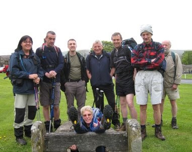
We set off from the 'stocks' on Bainbridge village green at about 11.20 am. There were 9 of us in the group: JB, PB, RB, KF, JJ, JP, WM, JY and PY. JJ led the walk.
We left the village in a south-easterly direction along the A684 road (passing the waterfalls on our right) and then turned onto a southerly bearing in order to follow the route of the River Bain (upstream) to Semer Water - our first climb being over Bracken Hill. From Semer Water Bridge {SD 921 877}, we followed a minor road in a south-easterly direction to pick up the public footpath at Low Blean {SD 924 872}. This took us along the southern shore of the lake towards Stalling Busk which we skirted pass (on the north side) in order to get to the village of Marsett {SD 903 862}.
From Marsett Bridge we followed a footpath that took us in a westerly (becoming south-westerly) direction to reach Bardale Head and the minor road that lies just beyond it at {SD 862 846}. The climb up onto Bardale Head started just after West Scrag {SD 893 862} and ended at the minor road. Our road walking took us to North Gate (1923 ft) - with good views of Dodd Fell on our right.
Just after North Gate we made a minor deviation to our route - in order to minimise the amount of road walking we had to do. We left the road at SD 850 838 and followed a boundary wall in a north-westerly direction towards Swallow Hole. Staying with this wall (on our right) we made our way to the junction of the wall with the road and the PW at Kidhow Gate {SD 830 834}.
Click this link to see a more detailed description of our minor route amendment.
After our deviation over quite rough terrain, we now turned onto a northerly bearing and followed the PW along a good track (West Cam Road)that gave us some tremendous views of the terrain that lay to the west of our route - Widdale and Widdale Fell.
We started our descent from the high ground (we were now at 1867 ft) near the tarns at Ten End {SD 844 871}. Staying with the PW, we dropped down over Rottenstone Hill to reach Gaudy Lane. We followed this towards Gayle. From here we chased the route of Gayle Beck into Hawes - where the day's expedition ended in a traditional fashion - a pot of tea or a glass of ale!

Many thanks to JJ for organising such an interesting and exciting adventure for us today. We had a really great time; we especially liked the road-avoidance deviation strategy near Dodd Fell Hill!
Use the buttons below to see where we went, how we did and some of the sights we saw.
Labels: A-Walking: Marsett Moments
posted by philbee @ 15:29
0 Comments
![]()


0 Comments:
Post a Comment
Subscribe to Post Comments [Atom]
<< Home